Aerial Mapping Workshop Greenwich Park
19 October 2020
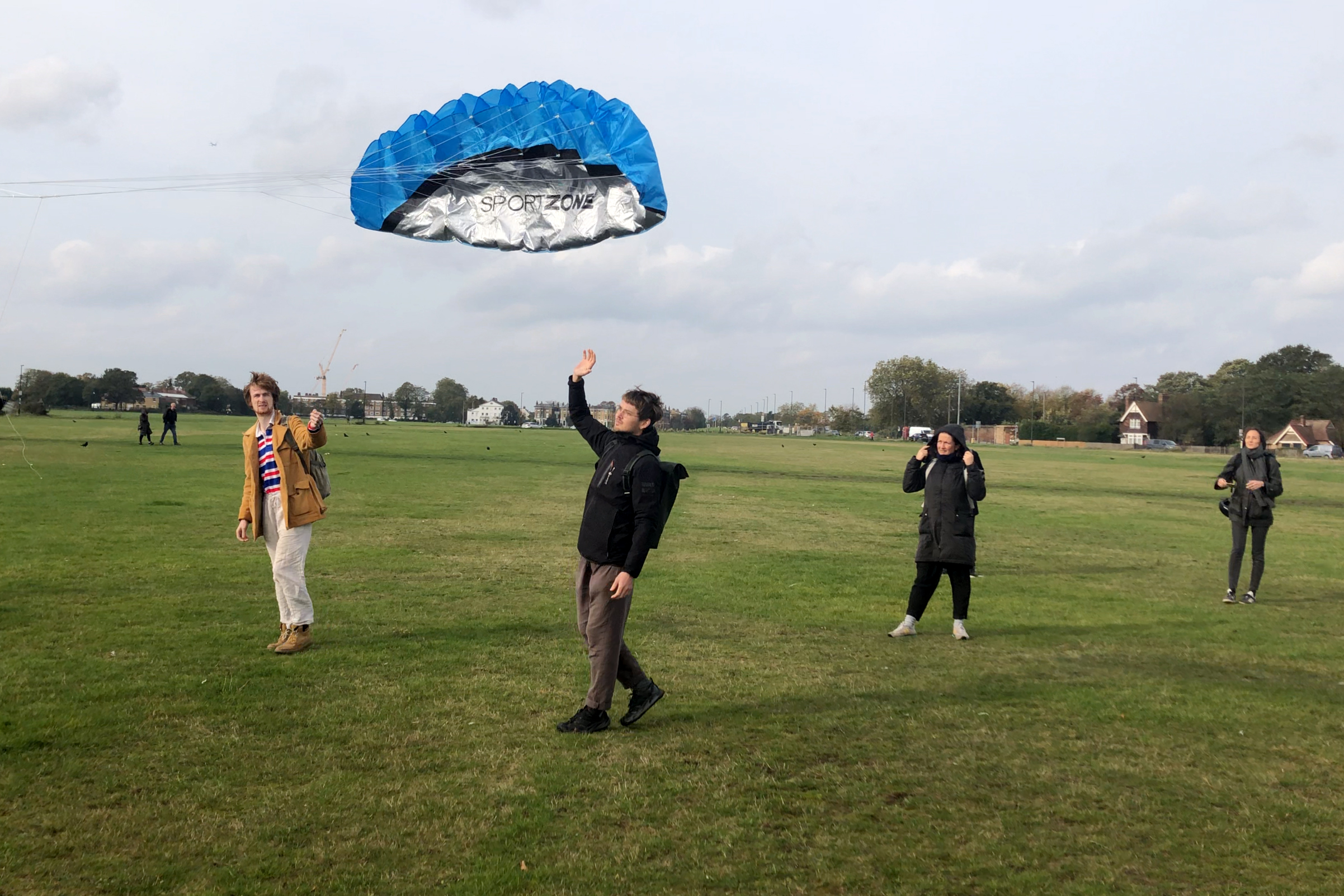
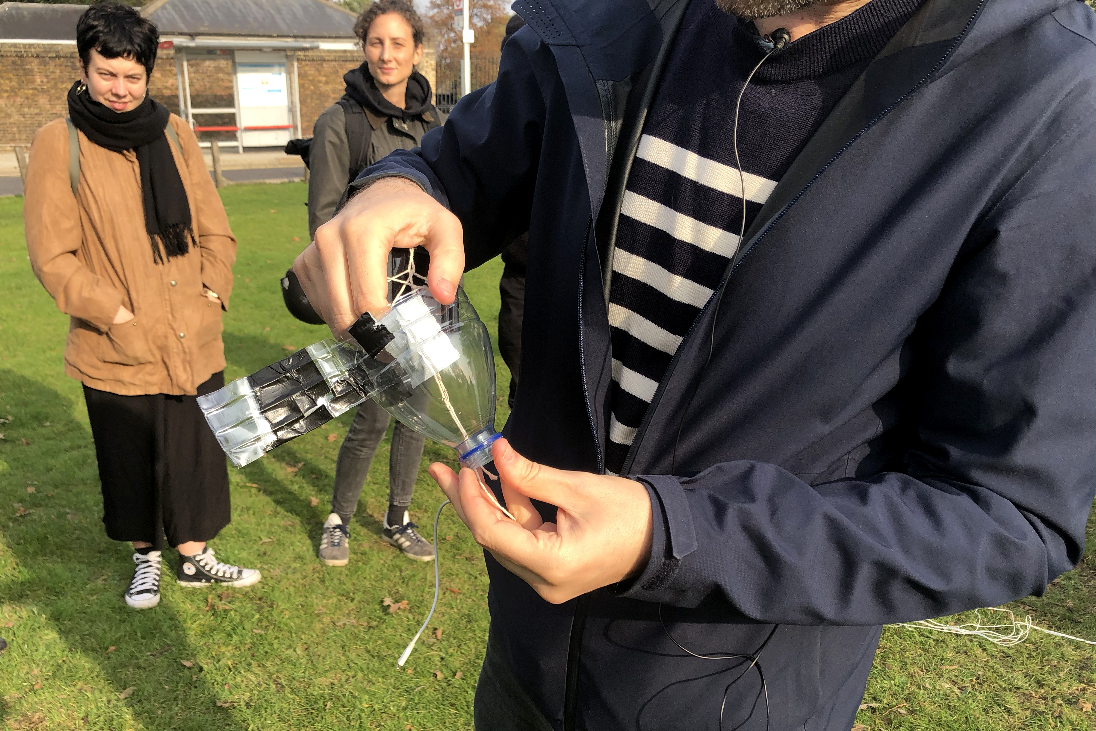
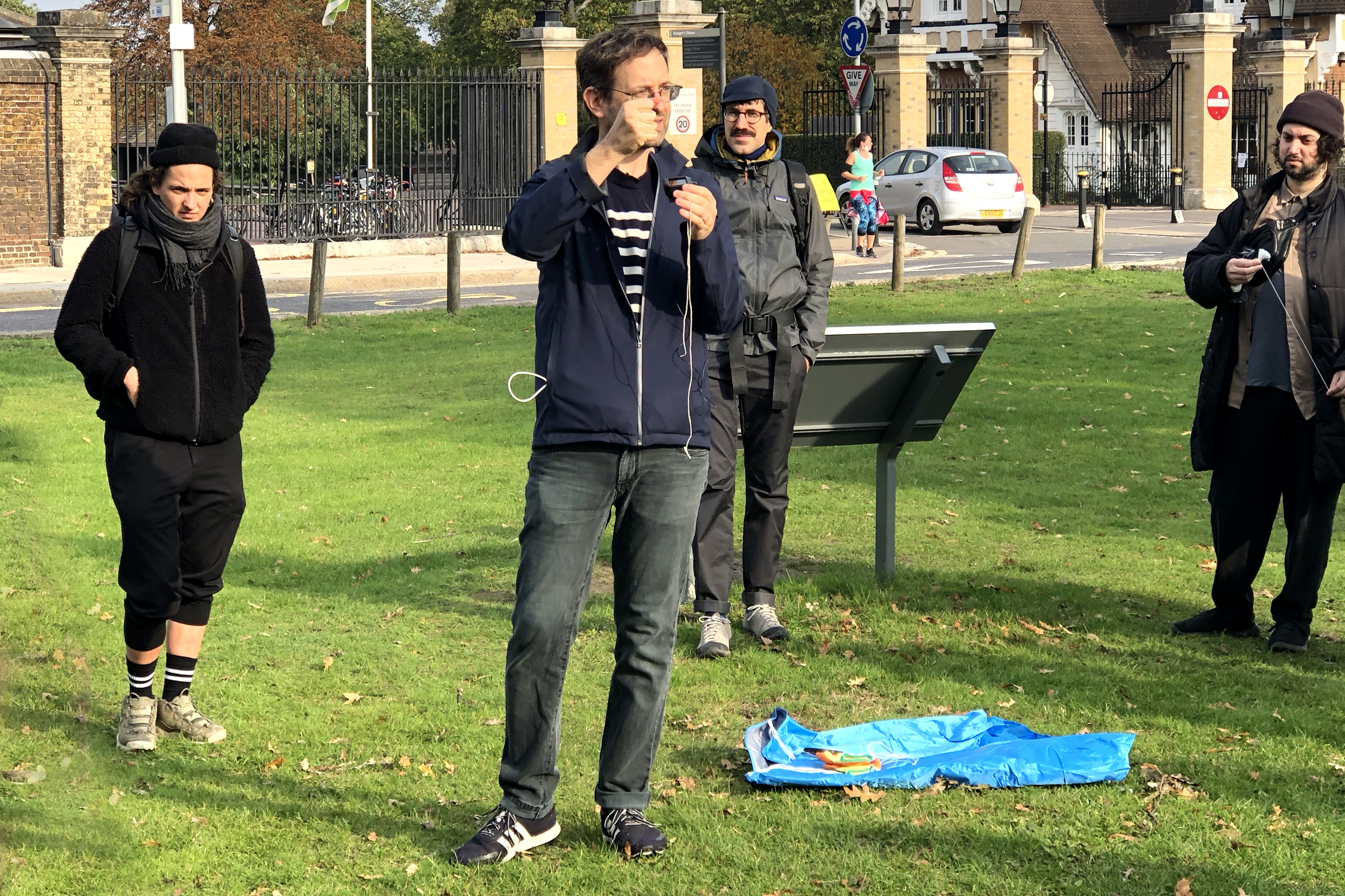
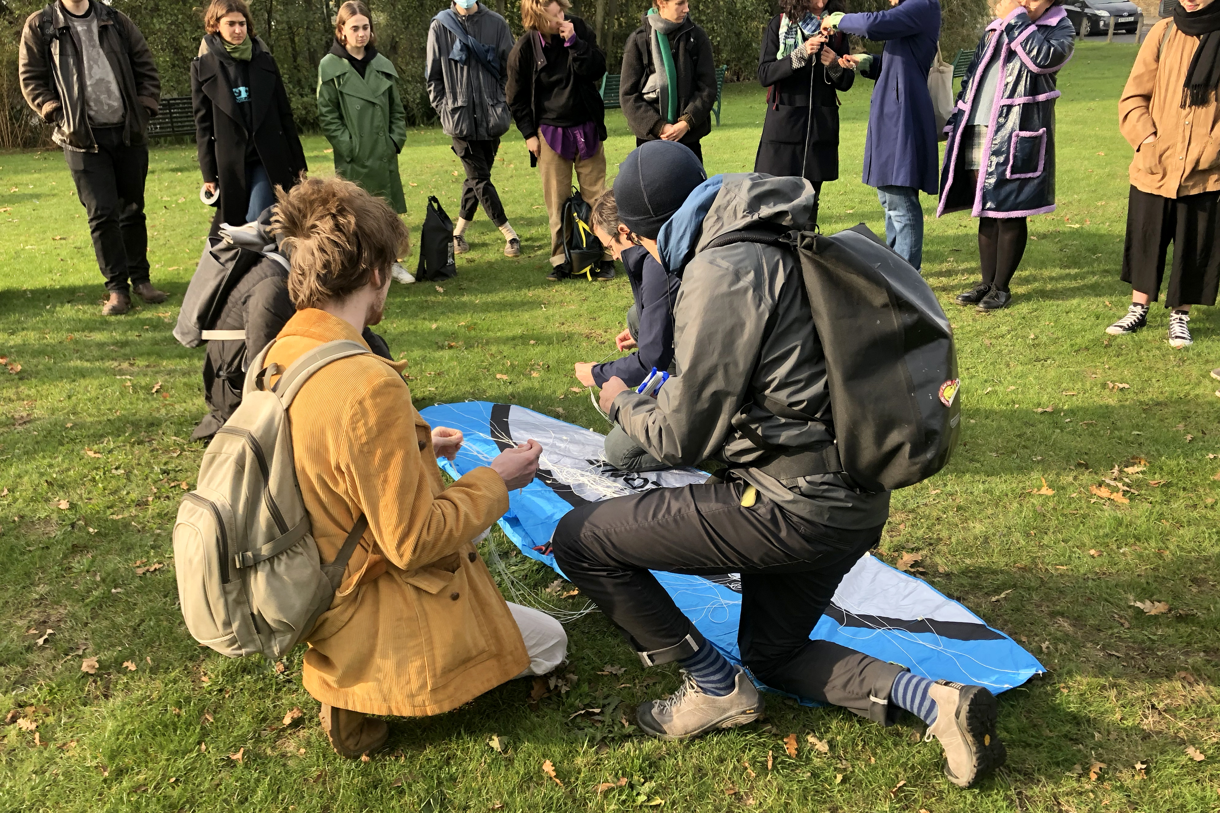
This workshop develops new modes of spatial and civic-led aerial photography using DIY strategies. We began by gathering the data needed to produce an outdoor photogrammetry of ground and aerial photo-based scanning. Kites mounted with a small camera as well as a drone were used to gather aerial images. Fusing survey and perspectival imaging, optical media has gradually technologically developed to incorporate a multiplicity of images and sources, that are both perspectival and projective, communal, situated and multiple. While primarily developed by states, military, and industry, permeating and restructuring them from the inside, it simultaneously opens new spaces for civic-led counter practices. Led by Ariel Caine.