Photogrammetry Workshop
2 November 2020
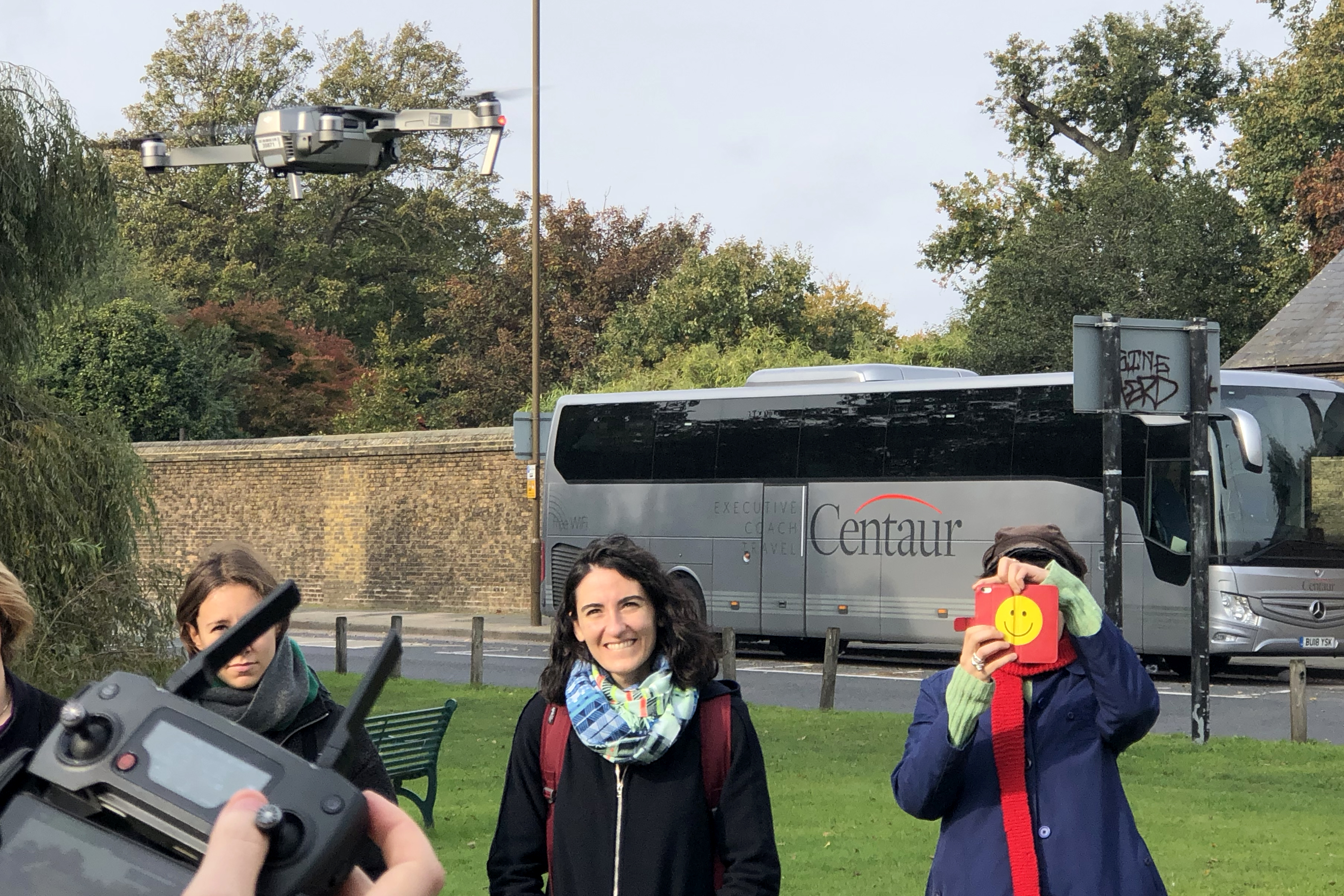
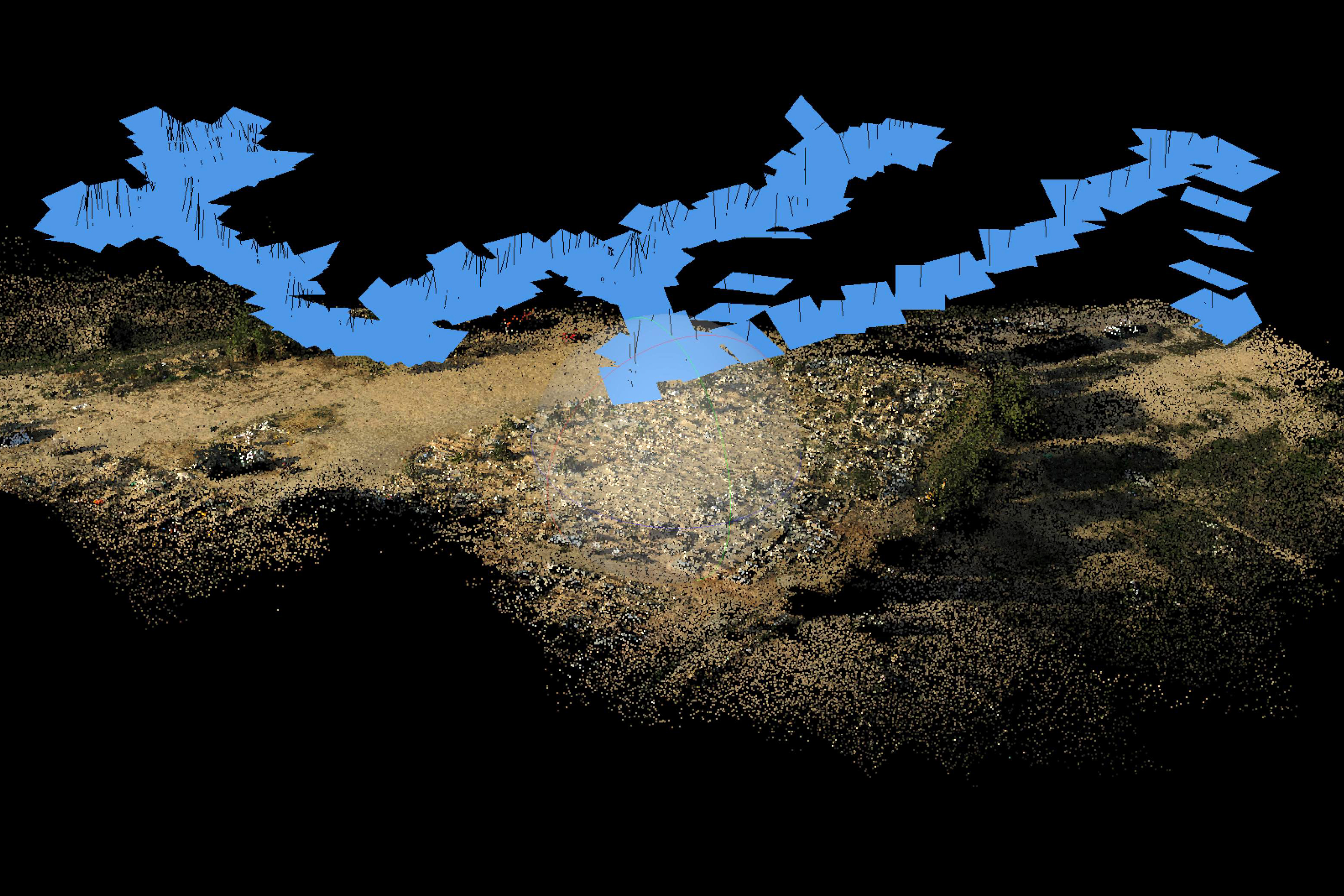
Emergent forms of computational 3D imaging have given rise to a new photographic condition, one in which the flat image is replaced by an omni-directional spatial data constellation, and in which viewing is defined by immersive navigation. The ‘spatial photograph’ does not flatten reality onto a chemical grain emulsion surface or a plane of discrete pixels. Rather the physical surface is transcoded into a digital terrain of spatially distributed, discrete coordinate points. This workshop built upon the aerial kite and drone mapping session that took place in Greenwich Park to provide an introduction to photogrammetry processing as well as geo-referencing to create orthophotos and 3D models of the scanned environment. The session concluded with a consideration of the ways in which practitioners, researchers and activists have been repurposing such aerial imaging tools and developing methods of practice in order to open up spaces for civic participation under conditions of human and environmental rights violations. Led by Ariel Caine.